In recent years, the implementation of working methodologies in BIM environment has been consolidating in the different project areas, reaching a very complex level of standardization and development. This evolution has gone hand in hand, in recent years, with the development of specific modelling tools such as Revit in the field of building and urbanism. However, in specific civil works projects for tunnels and underground works, this evolution is facing a series of limitations and difficulties in modelling tools that are exposing this type of projects to certain uncertainties when undertaking work with BIM methodology. The making of certain decisions, therefore, may involve, among others, the following risks:
- Delay in deliveries due to the difficulty of meeting the requirements established in the contract.
- Delays arising from coordination between disciplines and interfaces, as well as the management of the initial information, given the difficulty of sharing information between the various modelling tools.
- Delays caused by successive changes resulting from various coordination and revisions, which require repeated non-automated work (intersections of tunnels and galleries, modelling of the supports by means of bolts, trusses and gunite, etc.).
- Delays caused by the difficulty of obtaining and organising measurements using slow and complicated procedures.
The limitations and difficulties originate fundamentally from the applied modelling tool´s characteristics, as, paradoxically, to date, a specifically developed tool for modelling tunnels with total guarantee, does not exist.
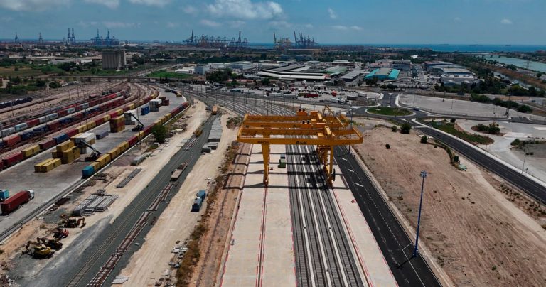
From a simplistic standpoint, the modelling tools commonly used could be divided into two large groups according to their scope of development: on the one hand, the tools used in the field of building, such as the different types of software (Revit, Aecosim) and, on the other hand, the tools used in the field of layout (Openroads, Civil3D). Looking at the different major projects that have been carried out in TYPSA in recent years, a strong dispersion in the decision of which modelling tool to use in tunnels and underground works can be seen immediately. This circumstance can be explained by taking into account a multitude of factors, not necessarily all of them of a technical nature and that, in any case, a wide spectrum of possibilities and experiences are also encountered when undertaking the modelling of a tunnel. However, on the other hand, this same diversification can be interpreted as a consequence of the uncertainty associated with none of the tools employed truly presenting itself as an ideal definitive solution compared to the other existing ones in the market. Furthermore, precisely, this decision-making on which tool to use, will have a decisive impact on the value that can be assumed from the risks described above.
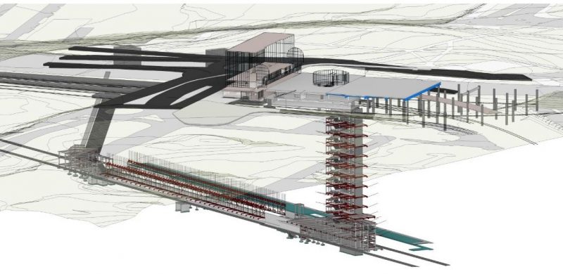
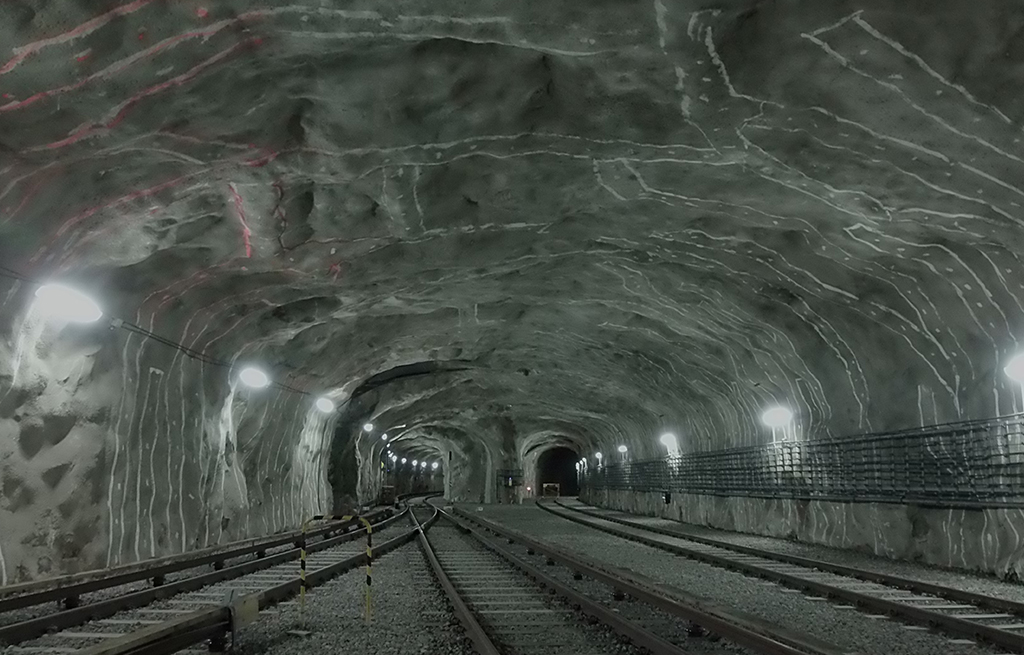
General view of the future underground Gullmarsplan Station in the Stockholm Tunnelbanna
On the other hand, in the bibliographic field available, there are documents of general interest that seek to provide a solid initial point for the execution of tunnel projects and underground works in BIM environment, although these publications are not as abundant as in other areas. It is worth mentioning, for its practical and informative approach, the recent translation into Spanish of the BIM Guide Deutscher Ausschuss for unterirdisches Bauen e. V. Prepared by the German Tunnelling Committee (ITA-AITES), in which TYPSA has had an important participation through Pedro Ramirez. However, these publications, in general, do not directly address the use of specific geometric modelling tools. This lack within the bibliographic framework finally translates into a certain difficulty when managing the risks associated with the decision of which modelling tool to use, both from the company level and from the public administration.
These are the reasons why, at the proposal of the Geotechnical Engineering Department, organisation and investigation work is being undertaken, through the development of an R&D project, to facilitate a coordinated vision of the different options and to assess the limitations of using the different tools.
Finally, it is necessary to highlight the rapid and continuous evolution of these modelling tools, which requires the specialists to undergo constant training and research to be able to undertake the different projects with guarantees of success, as the perspective of obsolescence that can affect the results should not be lost, and it raises the need to undertake future updates of them.